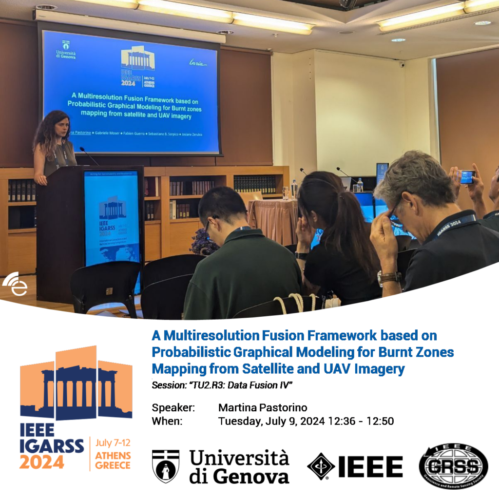
On July 9 at the 2024 IEEE International Geoscience and Remote Sensing Symposium (IGARSS) Dr. Martina Pastorino presented a talk on her last work
“A multiresolution fusion framework based on probabilistic graphical modeling for burnt zones mapping from satellite and UAV imagery”
as part of the Session named TU2.R3: Data Fusion IV.
Here is a picture of her talk!